|
| *****SWAAG_ID***** | 370 |
| Date Entered | 28/11/2011 |
| Updated on | 03/12/2011 |
| Recorded by | Tim Laurie |
| Category | Tree Site Record |
| Record Type | Botanical HER |
| Site Access | Public Access Land |
| Location | Hooker Mill Upper Scars |
| Civil Parish | Muker |
| Brit. National Grid | SD 8943 9970 |
| Altitude | 430m |
| Geology | Main Limestone |
| Record Name | MUK 139 Kisdon West. Hooker Mill, Upper Scar. Yews and Juniper |
| Record Description | Limestone ashwood on sheer south facing cliff and talus slope below with ash and occasional yew. Single isolated juniper, prostrate form at base of cliff.
At 430m this is one of the highest limestone cliffs with yew in Swaledale.
The altitudinal limit for yew is 470m at Purple Mountain (Wales? Ireland?) but the climate east of the Pennines is not so equable. (SD89439970 centre) |
| Geographical area | Upper Swaledale |
| Species | Juniper, Yew |
| Common / Notable Species | Ash
Vegetation not yet recorded |
| Additional Notes | Vegetation not yet recorded. |
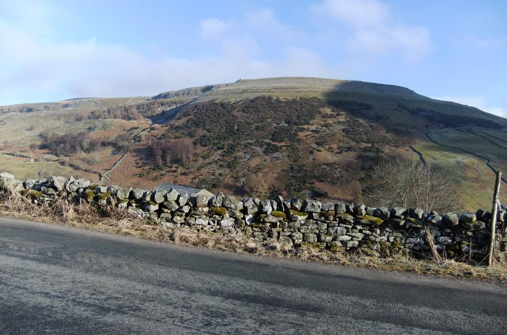
| Image 1 ID | 731 Click image to enlarge |
| Image 1 Description | Kisdon Scar (Upper Main Limestone cliff) from the B6270 road. The lower,larch covered Hooker Mill Scar is formed by the Underset limestone and | 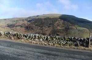 |
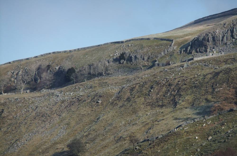
| Image 2 ID | 1488 Click image to enlarge |
| Image 2 Description | Kisdon Scar from the B6270 Road. Ashwood with scattered yews on the face of the cliff. | 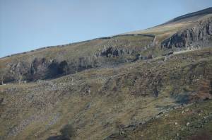 |